Common
Operational
Datasets for humanitarian response
Administrative boundaries and population statistics to support coordinated humanitarian preparedness and response.
What are CODs?
Common Operational Datasets (CODs) are administrative boundaries (COD-AB) and population statistics (COD-PS). They are ‘best available’ datasets that ensure consistency and simplify the management of key data.
National authorities are the primary source of most CODs, and the relevant Information Management Working Group accepts them in country or in their region. CODs reflect the local administrative hierarchy and are annotated with place names and P-codes. They provide a common operational picture of a crisis and a geographic framework for data collection, analysis and visualization, and are disseminated on the Humanitarian Data Exchange (HDX).
- Administrative boundaries (COD‑AB)
- Geographic boundaries and gazetteers of feature names and P-codes, reflecting each country’s administrative hierarchy.
- Population statistics (COD‑PS)
- Baseline, age- and sex-disaggregated population figures of a country’s pre-crisis situation, linkable to COD-AB using P-codes.
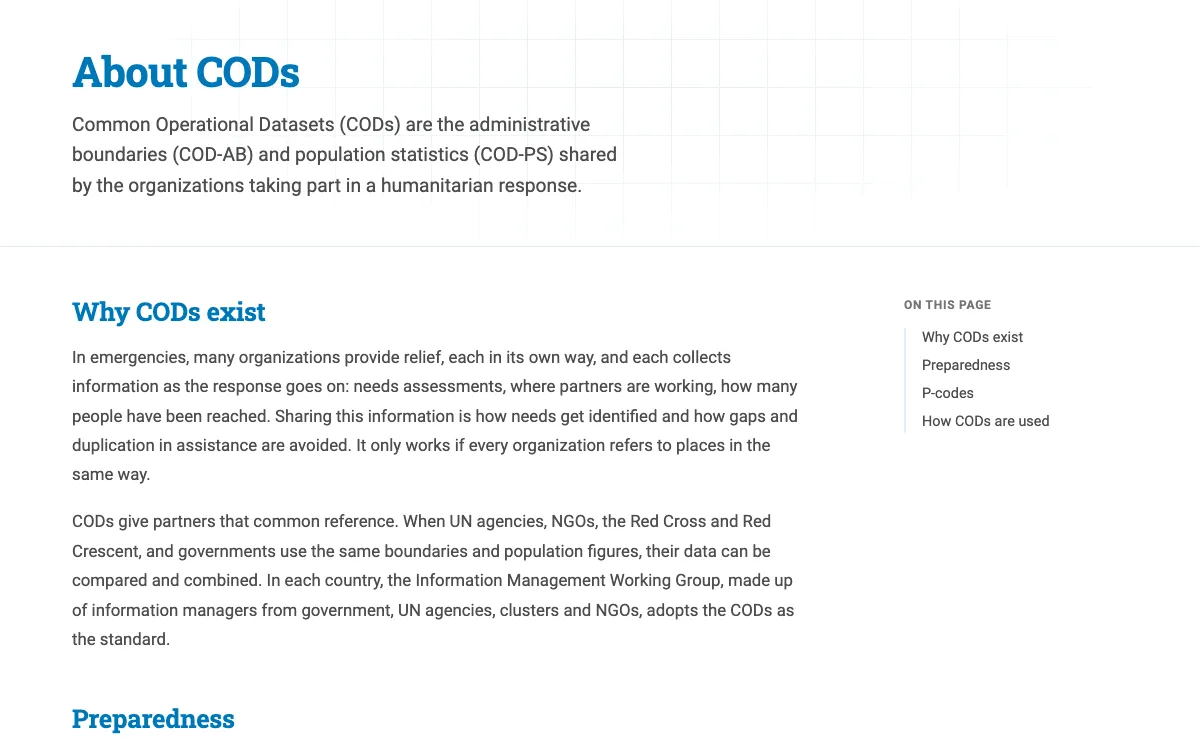
About
Why CODs exist, how P-codes let organizations link their data, and how CODs are used throughout a humanitarian response.
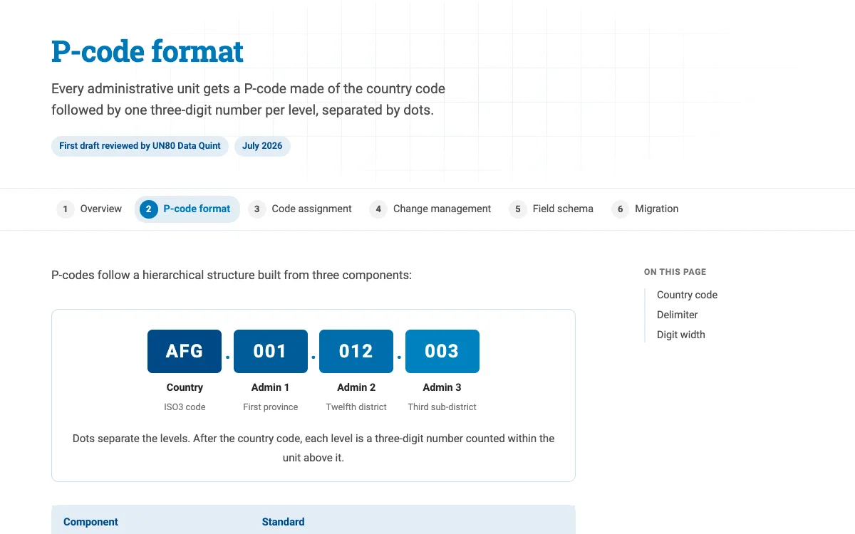
Standards
The shared rules behind COD-AB: how P-codes and fields are structured, and how each dataset is produced, reviewed and published.
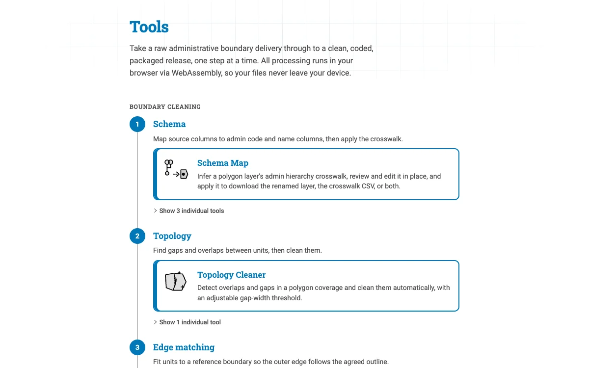
Tools
Take a raw administrative boundary delivery through to a clean, coded, packaged release, one step at a time. All processing runs in your browser via WebAssembly, so your files never leave your device.
Status
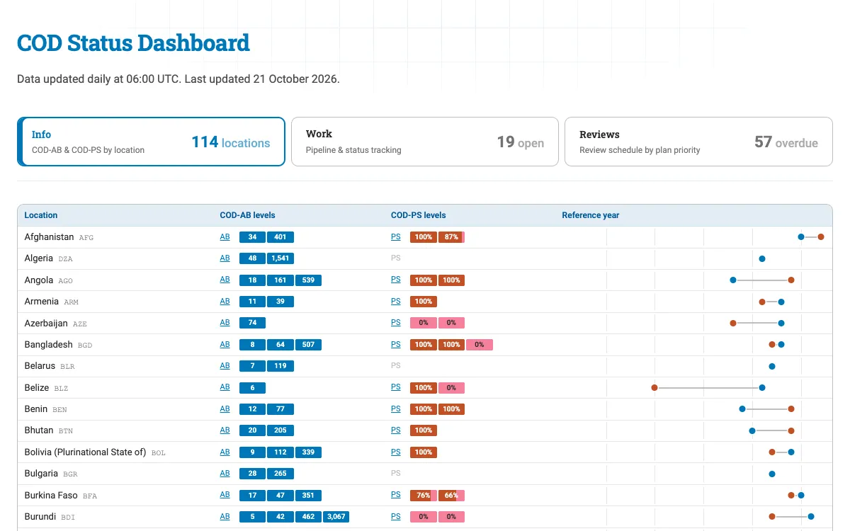
COD-AB and COD-PS levels and reference years by location, work orders, and review schedules.
Explorer
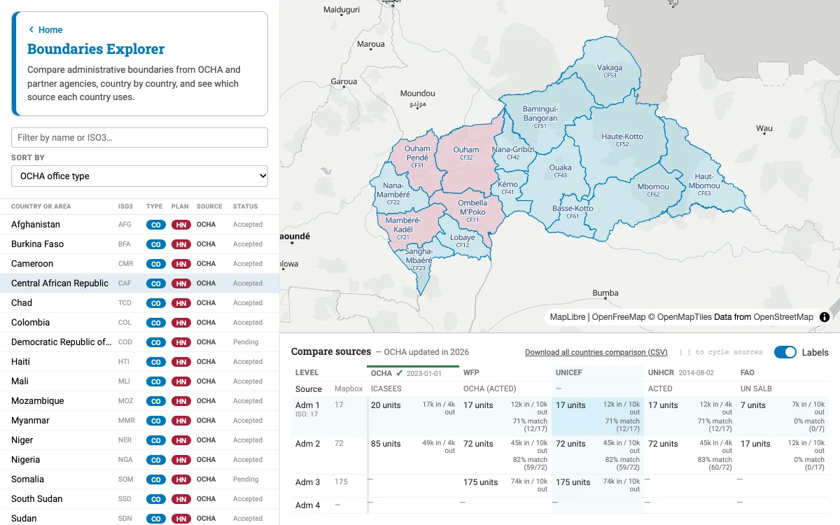
Compare administrative boundaries from OCHA and partner agencies, country by country, and see which source each country uses.